
Grade 6 Geography PowerPoints – Term 4
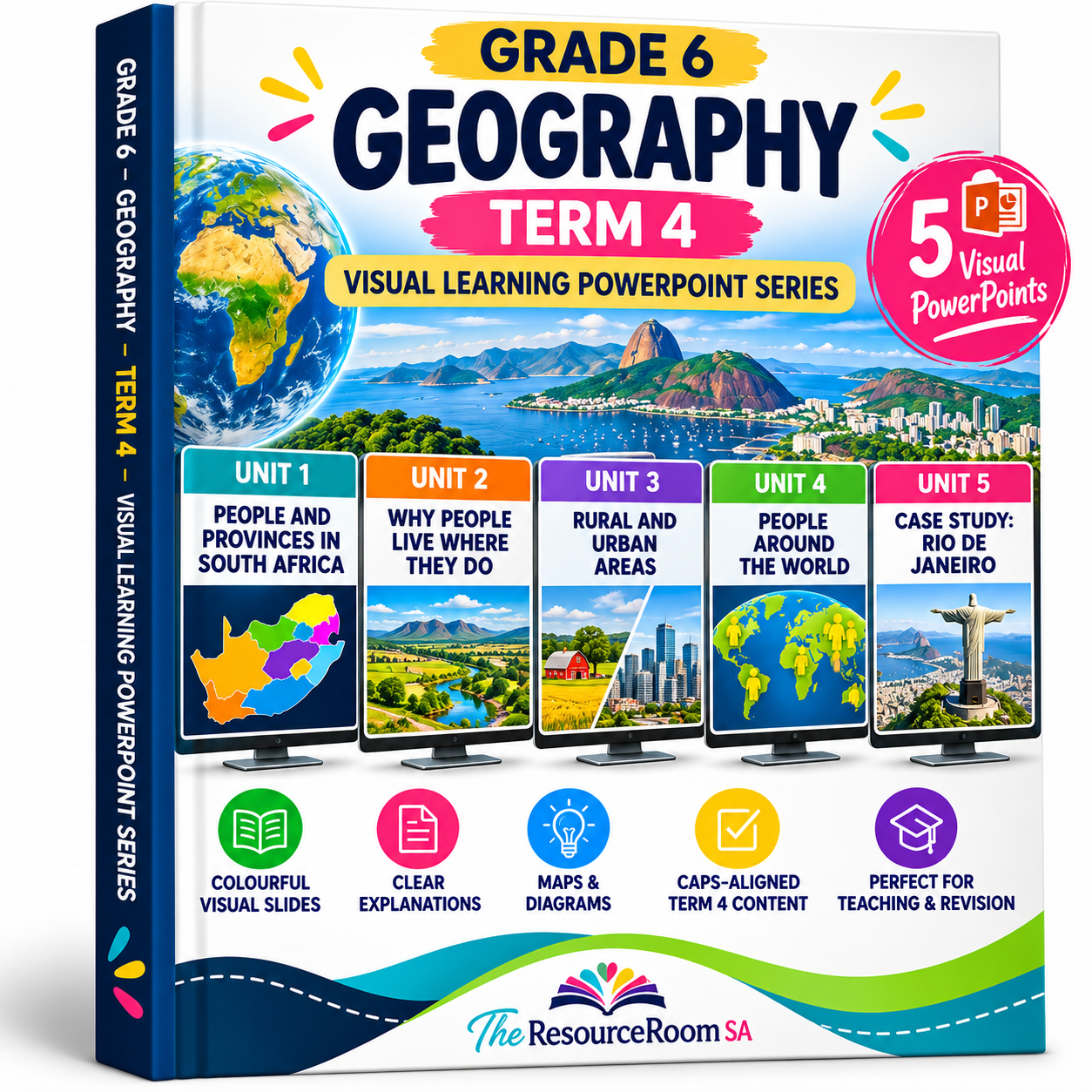
Make Grade 6 Geography Term 4 easier to teach and understand with this colourful Visual Learning PowerPoint series.
These presentations break Geography concepts into clear, manageable sections using learner-friendly explanations, maps, diagrams, visual examples and important geographical terminology.
Designed with visual learners in mind, the slides provide an alternative to information-heavy textbook pages and can be used for teaching, homeschooling, tutoring or revision.
What is included in the Grade 6 Geography PowerPoints?
You will receive 5 Visual Learning PowerPoint presentations covering the Grade 6 Geography Term 4 content.
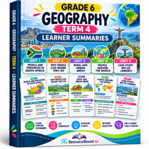
Unit 1: People and Provinces in South Africa
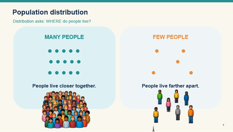
Explore South Africa’s population, provinces and population distribution. Learners develop an understanding of where people live and how population patterns differ across the country.
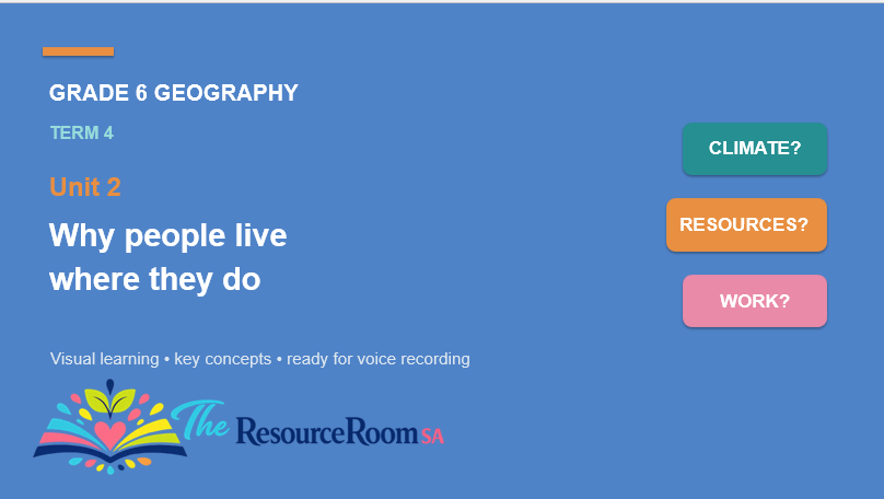
Unit 2: Why People Live Where They Do
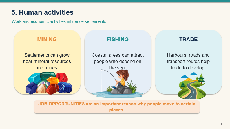
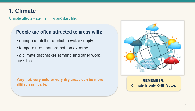
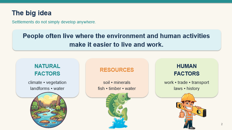
Investigate the different factors that influence where people settle, including climate, water, natural resources, jobs and transport.
Unit 3: Rural and Urban Areas
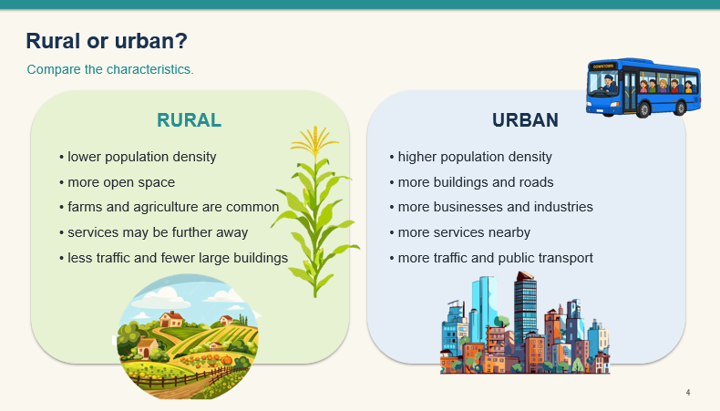
Understand the difference between rural and urban settlements, why people move between areas, and the push and pull factors that influence migration.
Unit 4: People Around the World
Explore world population distribution and the difference between densely and sparsely populated areas. Learners investigate how climate, water, resources and other factors influence where people live.
Unit 5: Case Study – Rio de Janeiro
Apply geographical knowledge to a real-world city. Learners explore Rio de Janeiro’s location, natural environment, population, residential areas, opportunities and challenges associated with urban growth.
Designed for visual learning
The presentations include clear explanations, colourful visuals, geographical terminology, maps and diagrams, revision activities and examples that help learners connect geographical concepts to real places.
The uncluttered layouts and large, readable text make the content easier to follow and particularly useful for learners who benefit from structured visual support.
Ideal for teaching and revision
These Grade 6 Geography PowerPoints can be used to introduce new concepts, teach Term 4 lessons, consolidate completed work or revise for tests and examinations.
They are suitable for classroom teaching, homeschooling, tutoring, learning support and independent revision.
What you will receive
5 editable PowerPoint presentations covering Grade 6 Geography Term 4.
The Grade 6 Geography Term 4 Learner Summaries are a separate resource and are not included with this product.
CAPS/ATP aligned and created as a visual teaching and learning aid.
Digital product only. No physical product will be shipped.
Reviews
There are no reviews yet.